New York
1926
1 fascicule
New York, The American geographical society, 1926.
Français
Livre
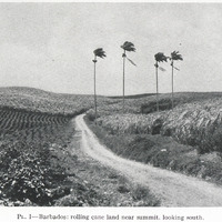
PL. I — Barbados: rolling cane land near summit, looking south
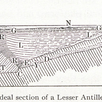
Fig. I — Ideal section of a Lesser Antillean bank
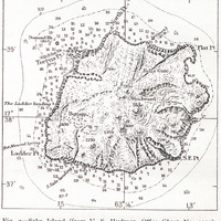
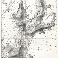
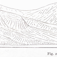
Fig. 2 — Saba Island (from U. S. Hydrogr. Office Chart No. 1011)
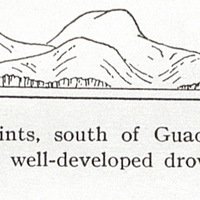
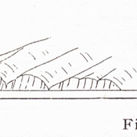
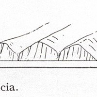
Fig. 3 — One of the Saints, south of Guadeloupe, with moderately cliffed headlands between well…
Fig. 4 — Part of one of the Saints (from U. S. Hydrogr. Office Chart No. 362).
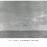
PL. II — The uplifted limestone island of Marie Galante.
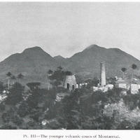
PL. III — The younger volcanic cones of Montserrat.
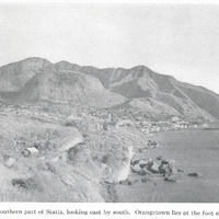
PL. IV — The southern part of Statia, looking east by south. Orangetown lies at the foot of the…
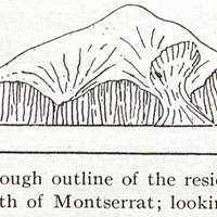
Fig. 5 — A rough outline of the residual island of Redonda, north of Montserrat; looking north.
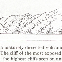
Fig. 6 — Silver Hill, a maturely dissected volcanic mass at the northern angle of Montserrat. The…
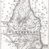
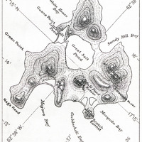
Fig. 7 — Montserrat (from U. S. Hydrogr. Office Chart No. 1011).
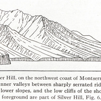
Fig. 8 — Center Hill, on the northwest coast of Montserrat, showing the deeply incised inner…
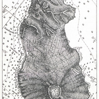
Fig. 9 — Statia (from British Admiralty Chart No. 487).
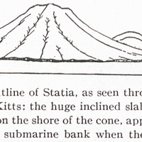
Fig. 10 — A rough outline of Statia, as seen through hazy air from the northwest end of St. Kitts:…
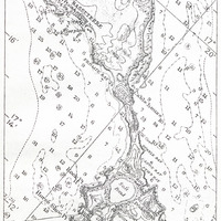
Fig. 11 — The southeastern part of St. Kitts (from British Admiralty Chart No. 487).
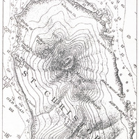
Figs. 12 and 13 — St. Kitts (from U.S.
Hydrogr. Office Chart No. 1011).
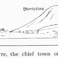
Fig. 14 — Basseterre, the chief town of St. Kitts, on the shore
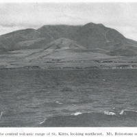
PL. V — The central volcanic range of St. Kitts, looking northeast. Mt. Brimstone on the left.
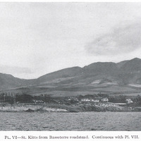
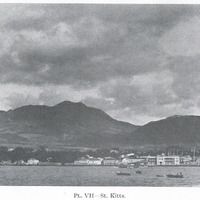
PL. VI — St. Kitts from Basseterre roadstead. Continuous with Pl. VII.
PL. VII — St. Kitts.
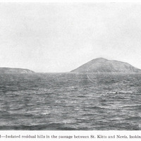
PL. VIII — Isolated residual hills in the passage between St. Kitts and Nevis, looking east.
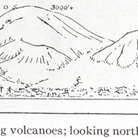
Slope of a group of young volcanoes; looking northwest and north.
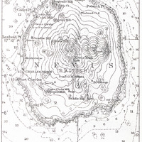
Fig. 15 — Nevis (from U. S. Hydrogr. Office Chart No. 1011).
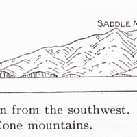
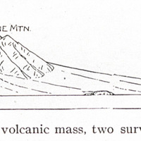
Fig. 16 — Nevis, as seen from the southwest. The young cone is built are seen in Saddle and Cone…
On the ruins of an older volcanic mass, two surviving summits of which
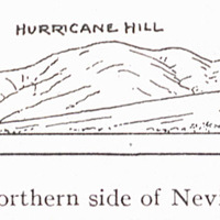
Fig. 17 — The northern side of Nevis, looking east.
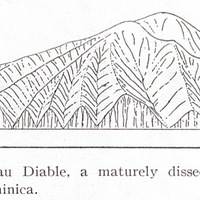
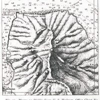
Fig. 18 — Morne au Diable, a maturely dissected volcano at the northern end of Dominica.
Fig. 19 — Morne au Diable (from U. S. Hydrogr. Office Chart N0. 1318).
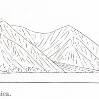
Fig. 20 — The southwestern coast of Dominica.
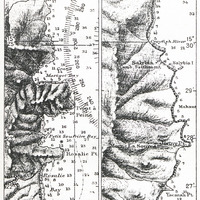
Fig. 21 — An embayed and cliffed part of the east coast of Dominica (from U. S. Hydrogr. Office…
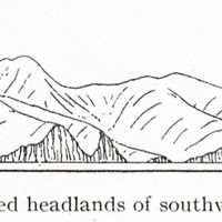
Fig. 22 — Cliffed headlands of southwestern Martinique.
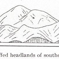
Fig. 23 — Cliffed headlands of southern Martinique.
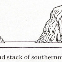
Fig. 24 — Cliff and stack of southernmost Martinique.
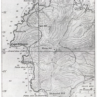
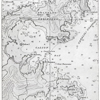
Fig. 25 — The embayed and cliffed coast of southwestern Martinique (from British Admiralty Chart No…
Fig. 26 — The embayed coast and coral reefs of eastern Martinique (from British Admiralty Chart No…
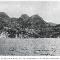
PL. IX — Mont Carbet and the cliff spur ends of Martinique, looking east.
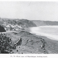
PL. X — East coast of Martinique, looking north.
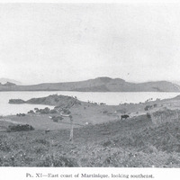
PL. XI — East coast of Martinique, looking southeast.
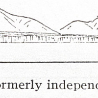
Fig. 27 — The mud flow of southwestern St. Lucia, by which several to the main island.
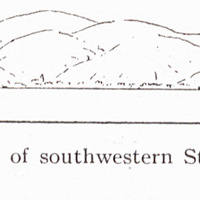
Subdued volcanic mounts, formerly independent islets, are now attached
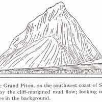
Fig. 28 — The Grand Piton, on the southwest coast of St. Lucia, where it is adjoined by the cliff…
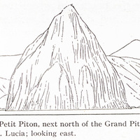
Fig. 29 — The Petit Piton, next north of the Grand Piton on the southwest coast of St. Lucia;…
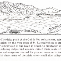
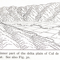
Fig. 30 — The delta plain of the Cul de Sac embayment, cultivated as a sugar plantation, on the…
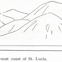
Fig. 31 — The low cliffs of the mid-west coast, St. Lucia.
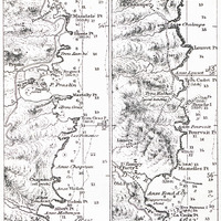
Fig. 32 — The east coast of St. Lucia (from U. S. Hydrogr. Office Chart No. 1261).
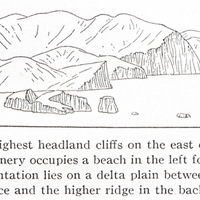
Fig- 33 — The highest headland cliffs on the east coast of St. Lucia; the village of Dennery…
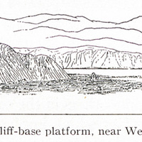
Fig. 34 — An elevated cliff-base platform, near Wellington, New Zealand.
Fig. 35 — The inner part of the delta plain of Cul de Sac, St. Lucia, looking northwest. See also…
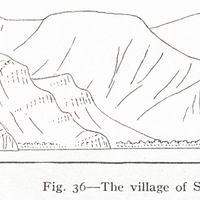
Fig. 36 — The village of Soufrière on a delta front on the southwest coast of St. Lucia.
Fig- 37 — The delta plain of the Roseau valley on the west coast of St. Lucia looking southwest…
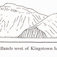
Fig. 38 — Cliffed headlands west of Kingstown harbor, southern end of St. Vincent.
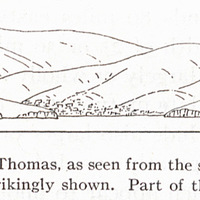
Fig. 39 — Part of St. Thomas, as seen from the south. The immaturity spurs and valleys is…
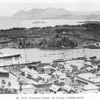
PL. XII — Castries harbor, St. Lucia, looking north.
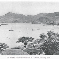
PL. XIII — Kingstown harbor, St. Vincent, looking west.
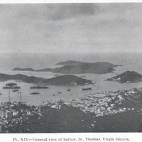
PL. XIV — General view of harbor, St. Thomas, Virgin Islands.
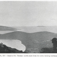
PL. XV — Island of St. Thomas: north coast from the crest, looking northeast.
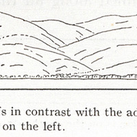
Of the low headland cliffs in contrast with the advanced maturity of the is seen at the bay head on…
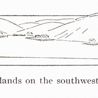
Fig. 40 — Spurs and islands on the southwest coast of St. Thomas, as and southwest.
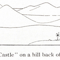
Seen from “Blackbeard Castle” on a hill back of the town; looking south
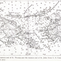
Fig. 41 — The eastern end of St. Thomas and the western end of St. John (from U. S. Coast and…
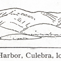
Fig. 42 — Great Harbor, Culebra, looking northwest.
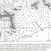
Fig. 43 — Norman and Peter islands (reproduced from British Admiralty Chart No. 2019). These…
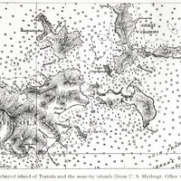
Fig. 44 — The embayed island of Tortola and the near-by islands (from U. S. Hydrogr. Office Chart…
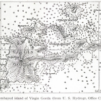
Fig. 45 — The embayed island of Virgin Gorda (from U. S. Hydrogr. Office Chart No. 3904).
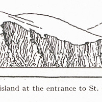
Fig. 46 — A cliffed island at the entrance to St. Thomas harbor, looking north.
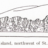
Fig. 47 — Cockroach Island, northwest of St. Thomas, looking east.
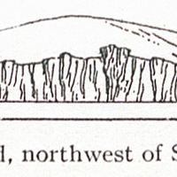
Fig. 48 — Cockroach Island, northwest of St. Thomas, looking north.
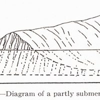
Fig. 49 — Diagram of a partly submerged cliff.
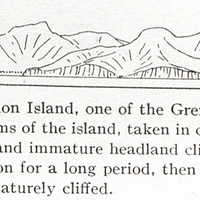
Fig. 50 — Part of Union Island, one of the Grenadines; looking southeast. The subdued forms of the…
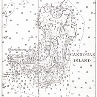
Fig. 51 — Cannouan Island, one of the Grenadines (from U. S. Hydrogr. Office Chart No. 1640).
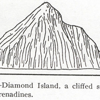
Fig. 52 — Diamond Island, a cliffed stack in the southern Grenadines.
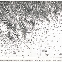
Fig- 53 — The embayed southeast coast of Grenada (from U. S. Hydrogr. Office Chart No. 1316)
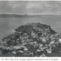
PL. XVI — Part of St. George's and the southwestern end of Grenada.
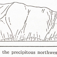
Fig. 54 — Ham bluff, the precipitous northwest coast of St. Croix.
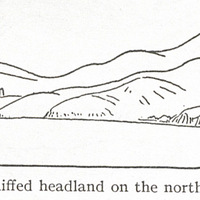
Fig- 55 — A lightly cliffed headland on the north coast of St. Croix.
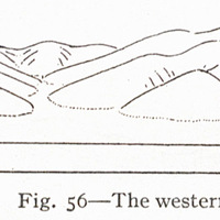
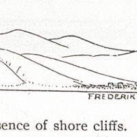
Fig. 56 — The western end of St. Croix at Fred
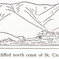
Fig. 57 — The non-cliffed north coast of St. Croix at Christiansted.
Eriksted, showing the absence of shore cliffs.
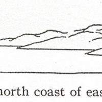
Fig. 58 — The north coast of eastern St. Croix.
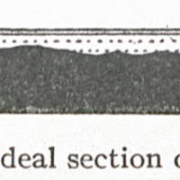
Fig. 59 — Ideal section of an atoll.
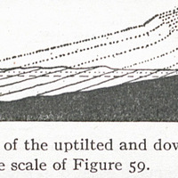
Fig. 60 — Ideal section of the uptilted and down-worn half of the same atoll, drawn on twice the…
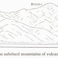
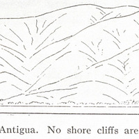
Fig. 61 — The subdued mountains of volcanic rocks in the southwestern quarter of Antigua. No shore…
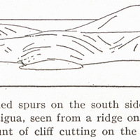
Fig. 62 — The subdued spurs on the south side of Willoughby Bay, southeast coast of Antigua, seen…
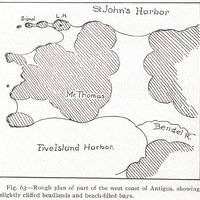
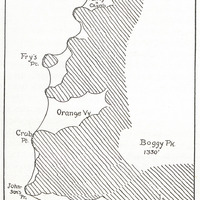
Fig. 63 — Rough plan of part of the west coast of Antigua, showing slightly cliffed headlands and…
Fig. 64 — Rough plan of the southwest coast of Antigua, showing slightly cliffed headlands and…
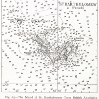
Fig. 65 — The Island of St. Bartholomew (from British Admiralty Chart No. 2038).
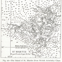
Fig. 66 — The Island of St. Martin (from British Admiralty Chart No. 2038).